DTLP:
Decision
Support
Tool
This project aimed at collecting detailed information on locations and relative availability of key livestock resources (e.g. pasture,water,) across seasons to support the development community-led land use plans.
Decision supporting tool for Land use plan (DTLP)
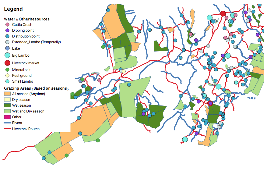
Livestock movement and the availability of resources are crucial for agriculture sustainability in resource-poor settings. This project aims to collect detailed information on livestock resources and mobility patterns using participatory mapping and GPS loggers. The data collected will support community-led land use plans to manage resources better and prevent conflicts between farmers and livestock keepers. The study mapped livestock resources and collected information on migration corridors associated with seasons across 380 villages in four districts in northern Tanzania. Fine-scale movement data were also collected using GPS collaring to provide in-depth information on individual herd migration and resource use patterns.
Our Approach
Mapping Tools
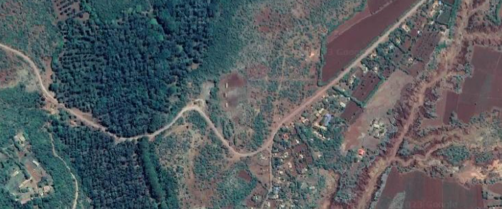
Google Earth images and topographic maps,were used as data collection tools. It also helped to provide a means to locate and estimate the size of key livestock resources in the area and crop lands more precisely.
Community Participatory Mapping
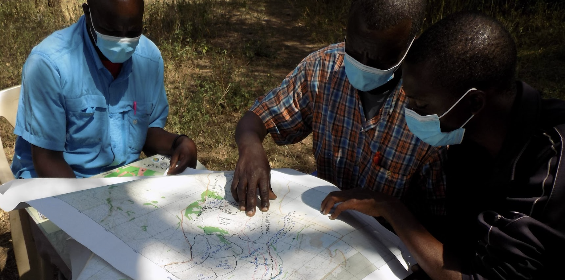
The study involved consulting community stakeholders and village representatives to identify and map key livestock resources, such as grazing and watering points etc, as well as discuss animal movement characteristics in relation to key resources , livestock routes, croplands, and conflicts. The mapping exercise was also recorded in a digital field book using Open Data Kit (ODK).
Data labelling and digitization
All resource areas and livestock routes identified in each village were digitized and
validated using GPS points collected during the survey.
Shape files were created for each type of resource area
and livestock route, such as grazing areas (polygon), livestock routes and rivers (lines),
and livestock markets, water points, dipping points, crushing units, and mineral salt points.

GPS collaring of livestock herds
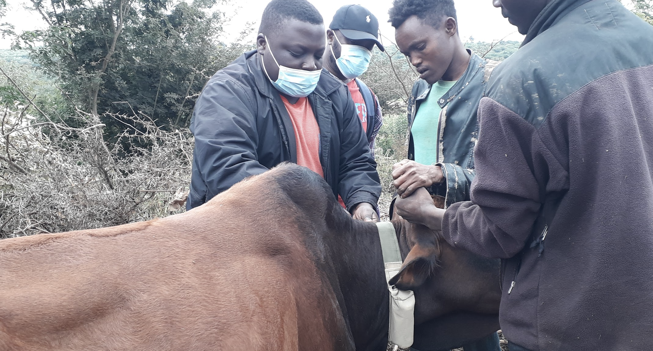
To establish the patterns of pastoral herds migration, particularly the timeline and route, selected herds from villages were collared using GPS loggers. The telemetry data provide additional information and further validate the livestock mobility patterns such as average distance travelled by each herd, utilisation of resources and livestock migratory routes as identified in the participatory mapping
Data verfication
Following the labeling and digitization of the data, additional meetings were held to confirm some of the patterns that were identified during the analysis and to verify the accuracy of the digitized data.
The Team and partners
The Nelson Mandela African Institution for Science and Technology (NM-AIST)
This project was hosted at NM-AIST, located at Arusha Tanzania, under the supervision of Prof. Gabriel Shirima. NM-AIST was also responsible for overseeing the implementation of the project.

Lacuna Fund
We are grateful to the Lacuna Funds. They have enabling this project to address one of the world's most pressing challenges.

University of Hohenheim
Prof. Mizeck Chagunda (University of Hohenheim),
has contributed valuable expertise to the project by providing insights into the mapping of farmers'
behaviors, among other factors. This has been crucial to the success of the project.

University of Glasgow
Dr. Divine Ekwem and Prof. Tiziana Lembo, along with their team in Glasgow, have played a vital role in developing protocols for mapping livestock movements and assessing disease risks using participatory methods and GPS collars. Additionally, they have created a framework for analyzing geospatial data that supports both livestock health and production. Their expertise in these areas has been essential to the success of the project.

NOTTECH Company Limited
The NOTTECH team, led by Dr. Gladness Mwanga, has contributed to software development, mapping and digitizing data, and deploying digital platforms for guidance and support in data collection. They have launched data for public sharing, ensuring efficient data management and analysis, and their contributions have been critical to the project's success.

Arusha Districts
The research required collaborating closely with district councils including Karatu, Longido, Monduli, and Ngorongoro district. To gather information about the villages and coordinate with other members, important participants such as the village chairman, sub-village leaders, pastoralist resources committee, and veterinary officers were also involved.

Data Usage and Citation
The CC-BY-SA-4.0 license governs the content of this website, which can be utilized for research and analysis purposes to gain insights for other research projects. If you require additional information, comments, or a review of the data, please feel free to contact us.
Citation
Gladness, M., Divine, E., Shirima, G.M., Mizeck, C., (2023). Decision Support Tool for Community-led Land Use Plans. https://dtlp.nottech.co.tz/index.html


