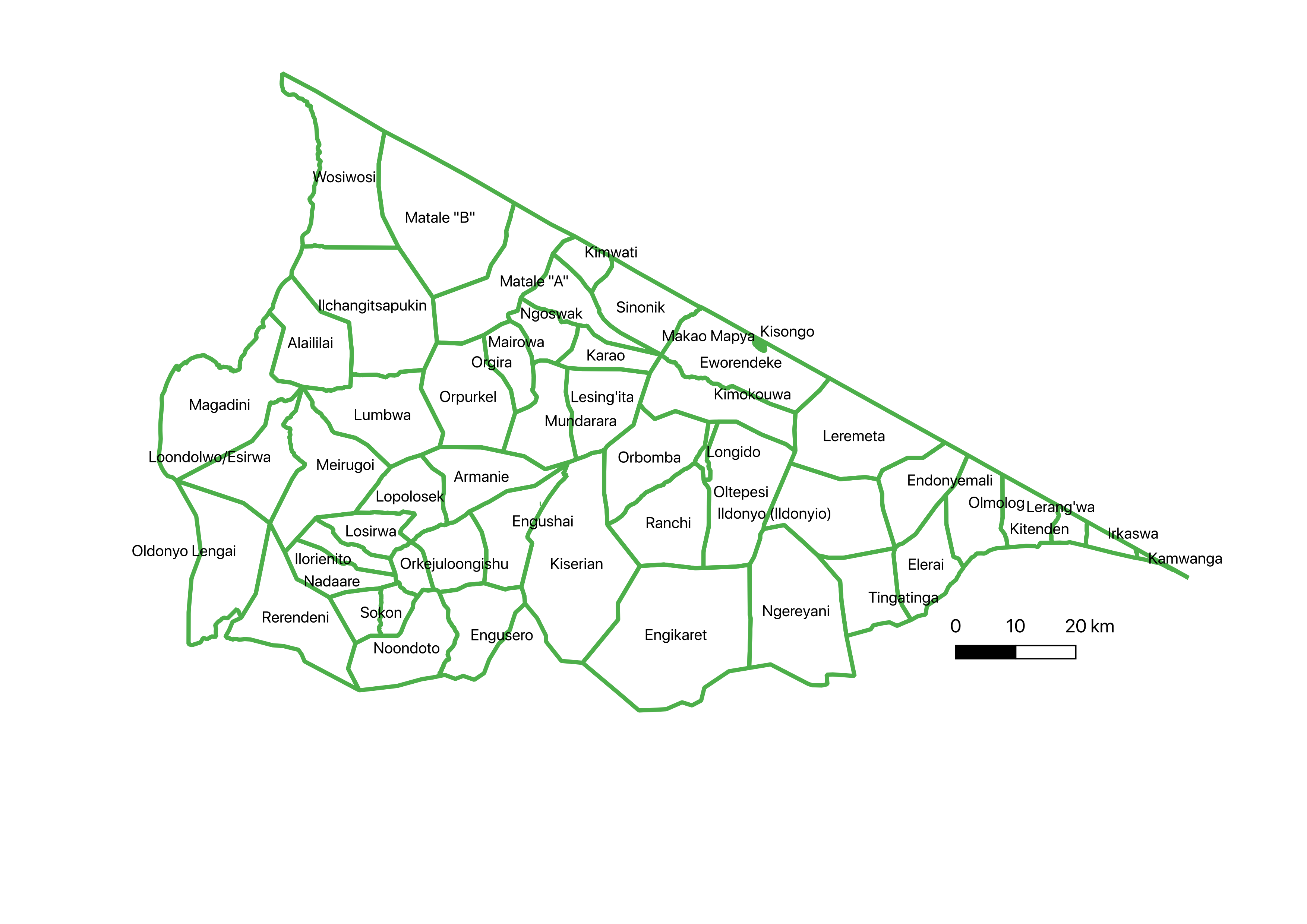
Longido district
Longido District Council was established in July 2007 and is situated between 360 00’ and 370 30 East 10 00-3 0 00 east of the Greenwhich. The council covers an extensive area of 7,782 square kilometers, of which 9.4% (equivalent to 73,164 hectares) is arable land, while 82.14% (equivalent to 639,235 hectares) is grazing land. Additionally, 365.75 square kilometers of land is covered by forest and rock, which is 4.7% of the total area. The district is known to be one of the driest areas in Tanzania, and the temperature ranges from 20c – 35c, while the rainfall ranges from less than 500mm in lowlands to 900mm in high elevations of West Kilimanjaro, Ketumbeine, and Gelai mountains. Furthermore, it shares its northern border with the Republic of Kenya (Longido district history).

Grazing areas
Compared to all the mapped districts, to a large extent Longido and Monduli have large grazing areas compared to the Karatu district.
Almost all villages in Monduli and Karatu grow crops, except for Longido, where only 29 out of 58 villages grow crops. We observed that most of the villages that grow crops in Longido are located around the mountains and hills. For example, we observed that the eastern highlands of Longido, around the mountain slopes of Kilimanjaro (Kamwanga, Irikaswa, Kitendeni, Ngereyani, and Elerai), are intensively used for agriculture due to the presence of volcanic soils, which have high agricultural potential. These areas are intensively used for growing crops such as maize, paddy, round potatoes, and beans. Other areas that are favorable for agriculture are around the Kitumbeine mountains, where the combination of good soils and ample rainfall make it possible to grow a wide range of crops.
The differences in seasons were not significant among the districts. The wet season for Monduli and Longido was considered to start in January and last until April, while in Karatu it can extend until May, depending on the rainfall in a particular year. The dry season was considered to start in May and last until July or August, and can extend to September in some areas. It gets extremely dry from October to December. Similarly, villages with large areas and a proper management system allocated their grazing areas based on seasonality, allocating grazing areas to be used during the wet and dry seasons.